Interconnected Weather Station Network

Interconnected Weather Station Network

Key Messages:

  • An interconnected network of weather stations allows growers to access a more accurate picture of conditions across the region.
  • Adding key site-specific visual indicators for frost prediction and spraying conditions facilitates practical decision-making.
  • The network also supports local fire brigades with live information to improve fire readiness and response.

Project Summary:

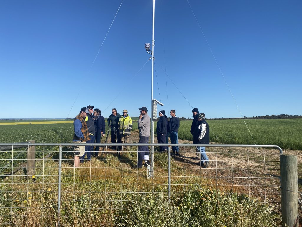
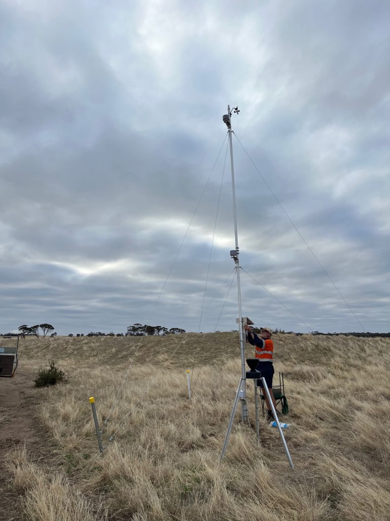
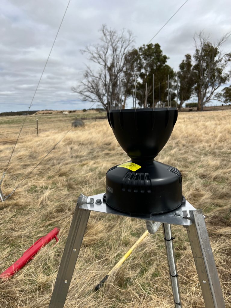
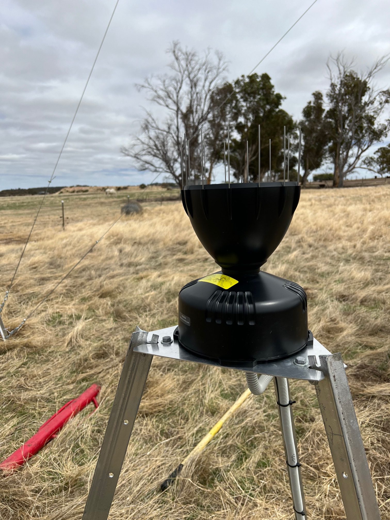
Facey Group’s Interconnected Weather Station Project has deployed 12 new weather stations on local farms and connected over 20 stations across the region, creating a shared network of real-time, localised weather data. The project aims to improve the accuracy and coverage of weather information available to producers, supporting more informed and timely on-farm decisions.

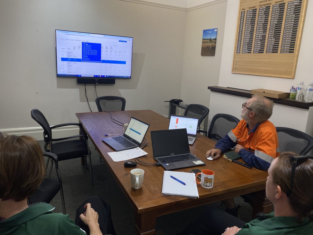
Through an accessible, interconnected platform, growers can easily view local weather conditions and key farm indicators to help guide management practices such as spraying, seeding, and livestock management. Beyond farm use, the network is also utilised by local fire brigades, providing reliable, site-specific data to support risk management and emergency response decision-making.

Project Background:

Reliable, localised weather data is critical for mixed farming systems across the Western Australian Wheatbelt. However, across the Facey Group region, there are few publicly available weather stations, often located many kilometres apart. This means they do not capture the significant variability that occurs between paddocks, leaving growers and emergency services relying on data that may not reflect actual local conditions.

At the same time, seasonal conditions are becoming more variable. Later breaks, more frequent heat events, frost risk, and unpredictable rainfall are increasing the pressure on decision-making. When decisions are based on inaccurate or distant data, it can lead to reduced input efficiency, higher spray drift risk, poorer livestock management, and slower or less effective fire response.

While some growers have installed their own on-farm weather stations, these systems usually operate in isolation. The data is only available to individual businesses, limiting its broader value and missing an opportunity to better understand weather patterns across the whole landscape.

This project brings those pieces together. By linking both existing and new weather stations into a single, interconnected network, we are creating a shared, real-time picture of conditions across the region. By focusing on localised data, supporting more confident and timely decisions on the farm, while also providing critical information for fire preparedness and emergency response across the community.

Further Information:

Project Start Date: May 2024

Project End Date: July 2026

Project Funding:  Department of Agriculture, Fisheries and Forrestry (DAFF) Future Drought Fund

Project Lead: Grower Group Alliance (GGA)                                                           

Project Collaborators: Facey Group, Wickepin Shire, Origo, Pairtree, GGA Drought Hub, Corrigin Farm Improvement Group (CFIG)

Host Farmers: +20 host sites across Wickepin and surrounds

Facey Group Logo 180

Contact Us

Phone: (08) 9888 1223

Facey Group Inc
40 Wogolin Rd
Wickepin, WA 6370
Postal: PO Box 129,
Wickepin, WA 6370